


Canford & Co
A Pair of Mid 19th Century Hand-Coloured Engraved Maps of French Wine Regions
A Pair of Mid 19th Century Hand-Coloured Engraved Maps of French Wine Regions
Couldn't load pickup availability
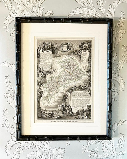
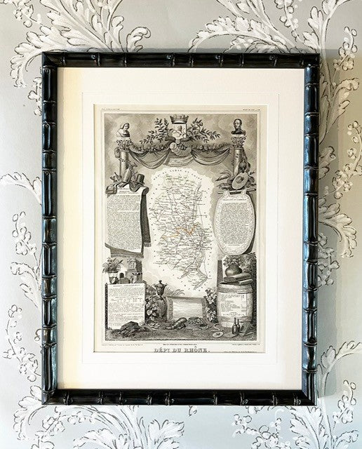
A pair of mid 19th century hand-coloured steel engraved maps of French wine regions by Victor Jules Levasseur (1800-1870), a French engineer, cartographer and engraver: Loire and Rhone from his Atlas National Illustré des 86 Départments et des Possessions de la France published in 1849.
Each map features elaborate illustrations depicting scenery, people, wildlife and trade of the region along with statistical, topographical and political information. They are presented in embossed line mounts and black bamboo frames with non-reflective glass. They are available individually for £250 each.
Other French Départments are available, please email for more details.
Framed: 63 x 49 cm each
-
Delivery
The cost for delivery within the UK is shown at checkout. If you are overseas please get in touch and we will send you a quote for postage to your country.